

Madagascar Facts: An Overview of the Island’s Geography & Culture
Key facts on the world's fifth-largest island, from geography and currency to its distinct cultural groups.
Madagascar is the world’s fifth-largest island, a vast landmass located in the Indian Ocean approximately 400 kilometers off the coast of East Africa. Separated from the continent by the Mozambique Channel, it is a nation defined by its immense scale and unique ecological isolation. Its capital city, Antananarivo, is situated in the country’s Central Highlands, serving as the primary administrative and economic hub.
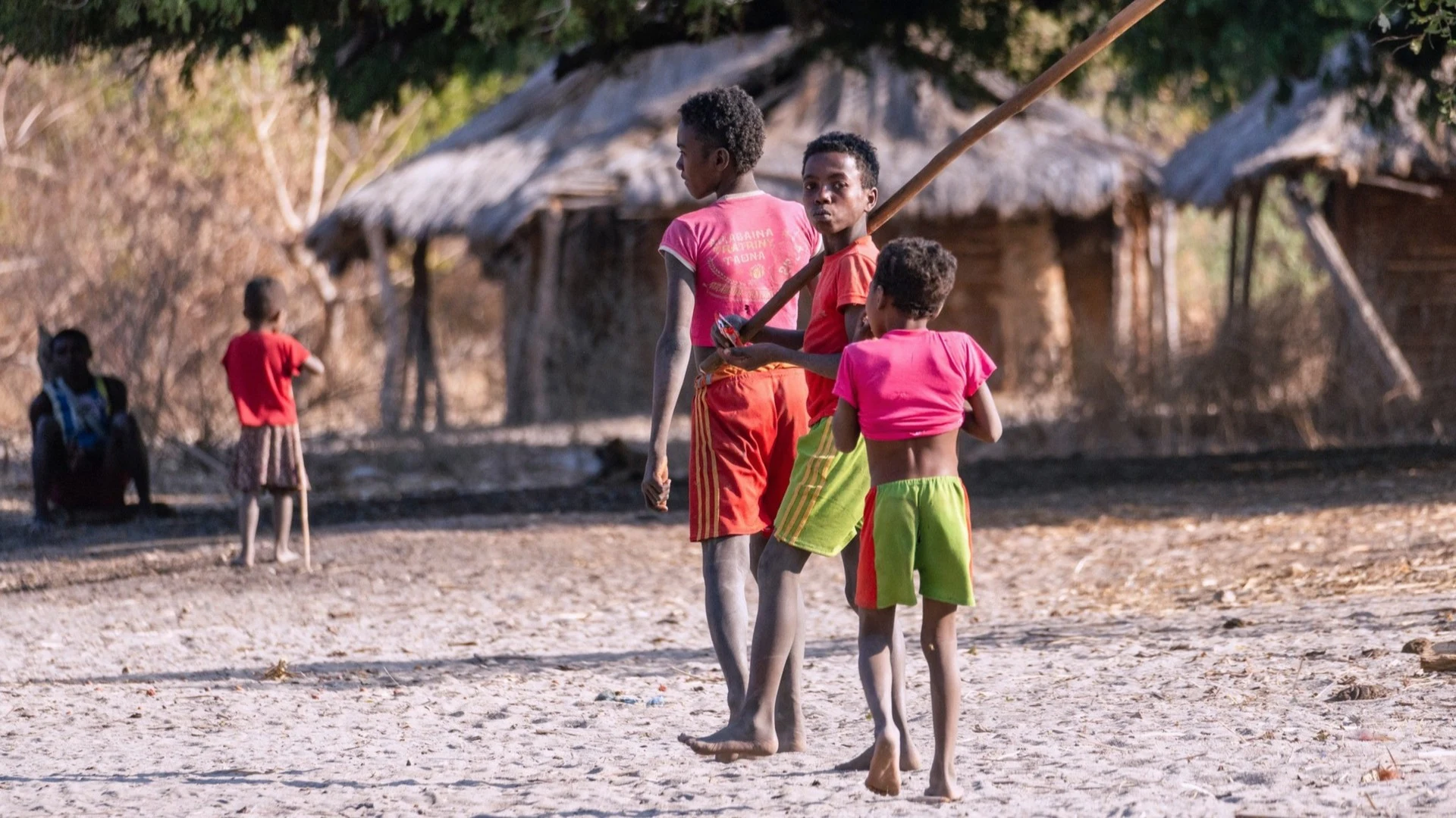
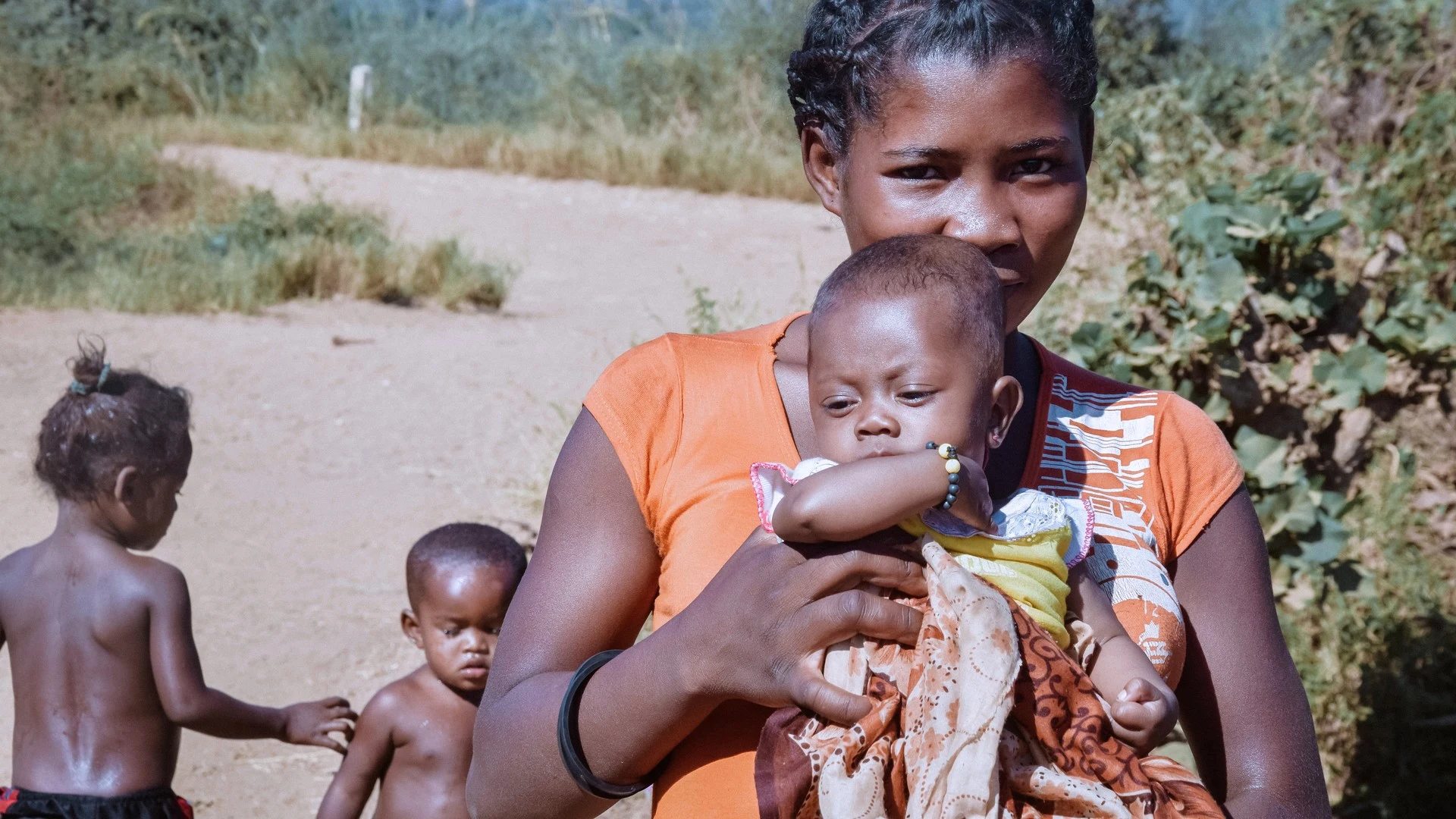
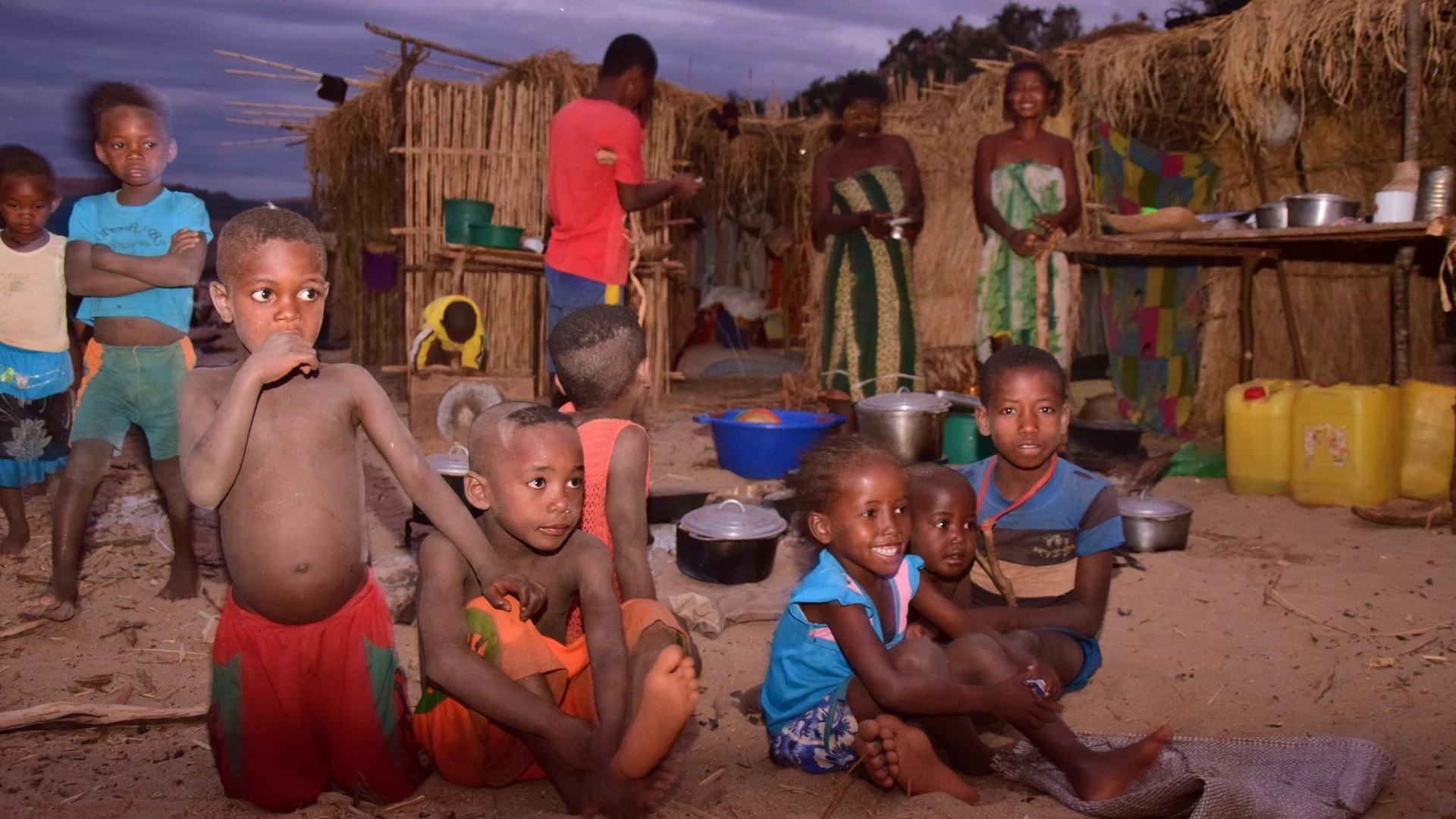
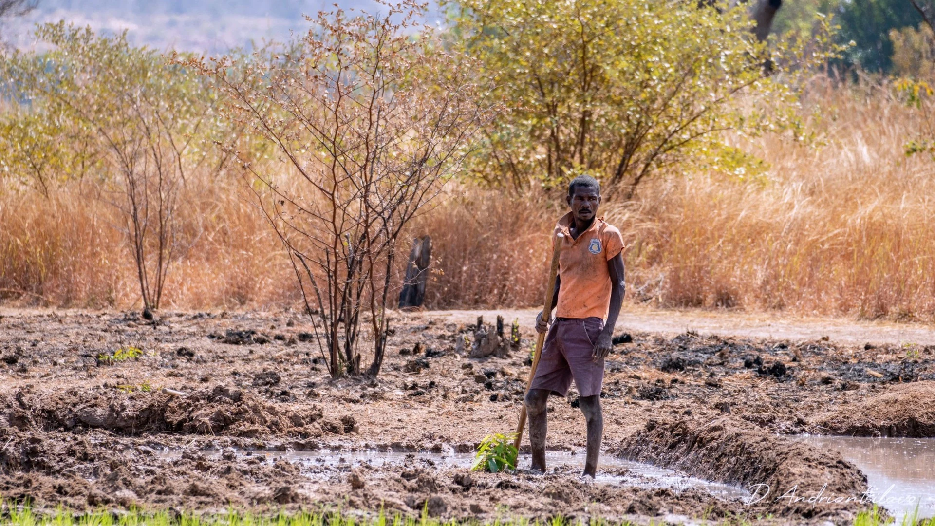
Understanding these foundational facts is the first step in appreciating the complexities of traveling here. The island’s sheer size—larger than France or Spain—means that itineraries must be thoughtfully planned around regional geography and infrastructure. Its population of over 32 million people (UN 2025) is composed of 18 officially recognized ethnic groups, creating a diverse cultural mosaic that varies significantly from the highlands to the coasts.
The official languages are Malagasy and French, with French widely used in government and tourism sectors. The national currency is the Malagasy Ariary (MGA), which is used for all local transactions. While Euros and US Dollars can be exchanged in major cities and at Ivato Airport (TNR), relying on Ariary is essential for travel outside of the main centers.
Because conditions and cultural norms vary significantly by region, a well-planned journey is built on an understanding of this context. Itineraries are often best adapted to the traveler’s priorities, whether focused on the sandstone canyons of Isalo National Park, the rainforests of the east, or the archipelagos of the north.
Last reviewed: May 2026


Key Takeaways
- Fifth-largest island in the world, located in the Indian Ocean
- Capital city is Antananarivo (Tana), in the Central Highlands
- Official currency is the Malagasy Ariary (MGA)
- Official languages spoken are Malagasy and French
- Home to 18 officially recognized ethnic groups
- Features over 4,800 kilometers of coastline
- Crossed by the Tropic of Capricorn in the south
In Detail
Geography & Scale
+People & Language
+Madagascar at a Glance
+Capital: Antananarivo
Population: Approx. 32 million (UN 2025)
Land Area: 587,795 km² (226,950 sq mi)
Official Languages: Malagasy, French
Currency: Malagasy Ariary (MGA)
Main International Airport: Ivato Airport (TNR)
Government: Semi-presidential republic
Administrative Regions & Major Cities
+Economic & Political Context
+Gallery
Frequently Asked Questions
Madagascar is an island nation belonging to the African continent. It is located in the Indian Ocean, separated from mainland East Africa (specifically Mozambique) by the Mozambique Channel.
The national and most widely spoken language is Malagasy, which has its roots in the Malayo-Polynesian languages of Southeast Asia. French is the second official language and is frequently used in government, business, and tourism contexts.
Madagascar is most famous for its extraordinary biodiversity, with an estimated 80% of its wildlife and 90% of its plant life found nowhere else on Earth. It is synonymous with lemurs, chameleons, baobab trees, and unique landscapes like the limestone pinnacles of the Tsingy de Bemaraha.
The capital city is Antananarivo, located in the Central Highlands. It is the country's largest city and its political, economic, and cultural heart. Travelers often refer to it by its colonial-era abbreviation, 'Tana'.
While the main island of Madagascar makes up the vast majority of the country's landmass, the nation also includes numerous smaller peripheral islands and archipelagos. The most well-known of these are Nosy Be and Île Sainte-Marie, both popular travel destinations.
The official currency is the Malagasy Ariary (MGA), and it is used for virtually all transactions. While it is possible to exchange major foreign currencies like Euros or US Dollars in Antananarivo and other large towns, the Ariary is essential for daily expenses, especially in rural areas.