
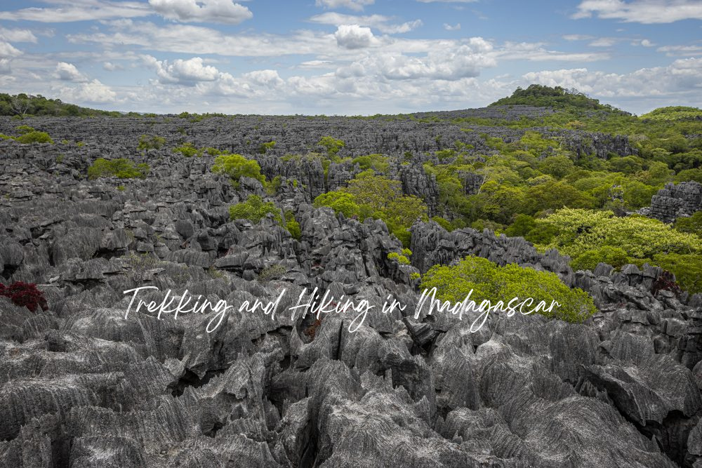
In Madagascar, the trail doesn’t take you to the wildlife — you’re already walking through it.
Most trekking destinations promise encounters with nature. Madagascar delivers something different: immersion so complete you forget where the trail ends and the ecosystem begins. Step off any marked path here, and you’re immediately inside what other places call their “pristine wilderness areas.”
We’ve walked these trails for years, slept in villages that don’t appear on tourist maps, and learned which guides know the terrain by the sound of the wind in specific trees. Madagascar’s hiking isn’t about conquering peaks or collecting experiences — it’s about moving through landscapes that operate by their own logic.
Highland Circuits: The Sacred and the Steep
The highlands around Antananarivo conceal networks of trails that predate any tourism infrastructure. The twelve sacred hills surrounding the capital aren’t marked by signage or visitor centers — they’re identified by the Malagasy who still consider them living entities.
Pic Boby, Madagascar’s second-highest peak, requires a different kind of preparation. The ascent through Andringitra reveals why altitude matters less than ecosystem knowledge. At 2,400 meters, you’re not just high — you’re in terrain that exists nowhere else on the continent. The endemic species concentration here exceeds most entire countries.
Rainforest Immersion: Where Trails Disappear
Marojejy National Park doesn’t accommodate casual hikers. The ascent from humid lowland forest to mountain scrub requires four days minimum, three camps, and guides who navigate by vegetation patterns invisible to untrained eyes. We’ve seen travelers attempt shortcuts — they invariably end up following our original route.
Cap Masoala: The Peninsula Protocol
Accessing Madagascar’s largest national park requires boat transport from Maroantsetra — there are no roads. The peninsula’s trail network connects primary forest to coral reefs without transition zones. You trek through closed canopy in the morning and snorkel over untouched coral by afternoon. This isn’t adventure tourism convenience — it’s geographic reality.
“Madagascar’s trails don’t follow contour lines — they follow the movements of animals that shaped this landscape before humans arrived.”
Desert Stone and Hidden Canyons
The Makay massif operates outside conventional trekking logic. These sandstone formations hide canyon systems that require technical climbing skills and water management strategies. Local guides from Beroroha know which seasonal pools remain reliable, which slot canyons flood without warning. This knowledge isn’t supplemental — it’s survival.
Multi-day circuits through Isalo National Park reveal why geological time matters for trail planning. The sandstone escarpments create microclimates that change hourly. Morning mist pools in canyons that become furnaces by afternoon. The Kirindy Forest approach from the west offers a transition zone that helps acclimatize to desert conditions.
Eastern Circuit: Canals and Cloud Forest
Linking Lake Alaotra to the coast requires combining boat transport on the Pangalanes Canal with forest trekking through terrain that maps classify as impenetrable. The route exists because local communities maintain it for subsistence needs, not tourism infrastructure.
Andasibe Forest Protocols
The Indri tracking trails in Andasibe-Mantadia change based on territorial calls heard before dawn. Guides adjust routes in real-time, following vocalizations rather than established paths. This isn’t wildlife viewing — it’s participation in daily territorial negotiations between lemur groups that have occupied these trees for millennia.
Technical Considerations for Serious Trekkers
Madagascar’s trail conditions fluctuate with seasonal patterns that don’t align with standard tourism calendars. The southeast trade winds affect highland weather systems from May through October. Cyclone season isn’t just about storms — it’s about trail accessibility, river crossings, and equipment logistics that determine which circuits remain viable.
Water purification becomes critical in remote areas where streams cross mining regions or agricultural zones. GPS coordinates marked in other seasons may lead to seasonal lakes or temporary settlements. Local guide networks understand these variables because they live within them year-round.
DESIGN YOUR MADAGASCAR TREK
The right circuit connects ecosystems in sequences that build understanding, not just elevation.